
Illegal fishing is theft from your economy. Catch it from orbit.
Illegal, unreported and unregulated fishing drains a nation's waters beyond patrol range. Detect the dark vessels from orbit, guide legitimate fleets and hold an evidence chain behind every landing.

A theft you cannot see is a theft you cannot stop
Illegal, unreported and unregulated fishing is not a nuisance at the margins of the maritime economy. It is a direct drain on a nation's food security, its export earnings and the livelihoods of the fishermen who play by the rules. It happens in the parts of the exclusive economic zone that coastal radar and patrol boats cannot reach, and it happens deliberately out of sight.
The vessels doing it know how enforcement works. They switch off their transponders, they operate at the edges of the zone, and they count on the simple fact that a coast guard cannot be everywhere at once. Against that behaviour, more patrol boats are not the answer. Seeing the whole zone at once is.
Unstrat brings the sensing, the analytics and the enforcement chain together as one accountable, non-aligned channel, with no major-power strings on how a nation polices its own waters. The capabilities below turn an invisible loss into a documented, prosecutable one.
The evidence chain behind every landing
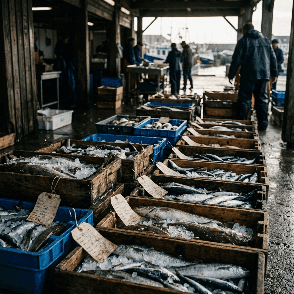
Enforcement that cannot prove what it saw does not survive contact with a court. Fisheries traceability and enforcement supplies the evidence chain: bait-to-plate seafood traceability built on the fisheries intelligence platform, with analytics against illegal, unreported and unregulated fishing and EEZ-wide monitoring fused from satellite and vessel data. It gives fisheries ministries and coast guards evidence-grade reporting for both enforcement action and export compliance.
That matters beyond the moment of interdiction. A traceable catch is a marketable catch: buyers in demanding export markets increasingly require provenance, and a nation that can prove where its seafood came from protects the legitimate industry as well as prosecuting the illegitimate one. The same evidence chain that catches the dark vessel also certifies the honest landing.
The platform is backed by the United Nations World Food Programme and the European Space Agency, which is the kind of independent standing that makes an enforcement case credible internationally without tying a nation to any major power.
Guide the honest fleet, expose the rest
Enforcement is only half the value. Fish detection uses satellite data to produce fishing-zone advisories that guide legitimate fleets to productive waters, cutting wasted days at sea and improving the profitability of the fishermen a nation is trying to protect. The same analytics that help the honest fleet also monitor unregulated and unsustainable fishing across national waters.
The service is delivered as a mobile application that fishermen download and use directly at sea, which is what makes it real rather than an abstraction confined to a ministry. It fuses data from earth and data from space, analysed together, and is built by a specialist team that pioneered data science in fisheries and is backed by the UN World Food Programme, the European Space Agency and the World Bank. The same earth-observation foundation extends to disaster-risk monitoring, giving civil-defence and coastal authorities a real-time picture of cyclones, flooding and coastal hazards that threaten the fleet as directly as any illegal competitor.
Pairing advisory with enforcement changes the political economy of fisheries management. A nation is not only taking something away from illegal operators; it is giving something back to legitimate ones. That combination is far more durable than enforcement alone.
See the whole zone from orbit
The wide-area picture that makes all of this possible comes from ocean surveillance satellites: space-based maritime domain awareness that fuses AIS tracks, radar detections, RF geolocations and optical imagery into a single operating picture of the EEZ and the open ocean beyond coastal radar. Crucially, it includes dark-vessel tracking, cross-matching gaps in transponder data against radar and RF layers to surface the ships that are hiding.
For a government the decisive feature is sovereignty of the picture. The service is delivered under a sovereign contract: tasking on the nation's own priorities, downlink to antennas inside its borders and processing inside its jurisdiction, so no raw data leaves the country. The alerting logic is the nation's own, not a foreign-supplied black box, and one platform serves navy, coast guard, fisheries enforcement, customs and search-and-rescue through role-based access.
The capability can be stood up in stages, starting with a two-layer AIS and radar picture and building toward a full multi-source platform, so a nation gains real coverage early rather than waiting for a complete system before seeing anything at all. And because the ships and ports that hold this picture together are themselves targets, maritime cybersecurity hardens the vessels and harbours whose systems the enforcement chain depends on, so the picture cannot be blinded from the inside.

From invisible loss to documented case
Detection, advisory and evidence are not three separate purchases; they are one enforcement capability. Orbit sees the dark vessel, the analytics identify and guide, and the traceability chain turns a sighting into a case that holds up. Bring them through a single independent channel and the pieces fit, rather than leaving gaps between vendors that the illegal operator will exploit.
For a government, this is how illegal fishing stops being an accepted cost of having a coastline and becomes a crime a nation can actually see, prove and end. The theft is real. So now is the means to catch it.


