
A border is only as real as your picture of it.
Persistent land-border surveillance built from layered aerial ISR, emitter-free radar and a single fused picture that stays under your control.
The line on the map is not the border you defend
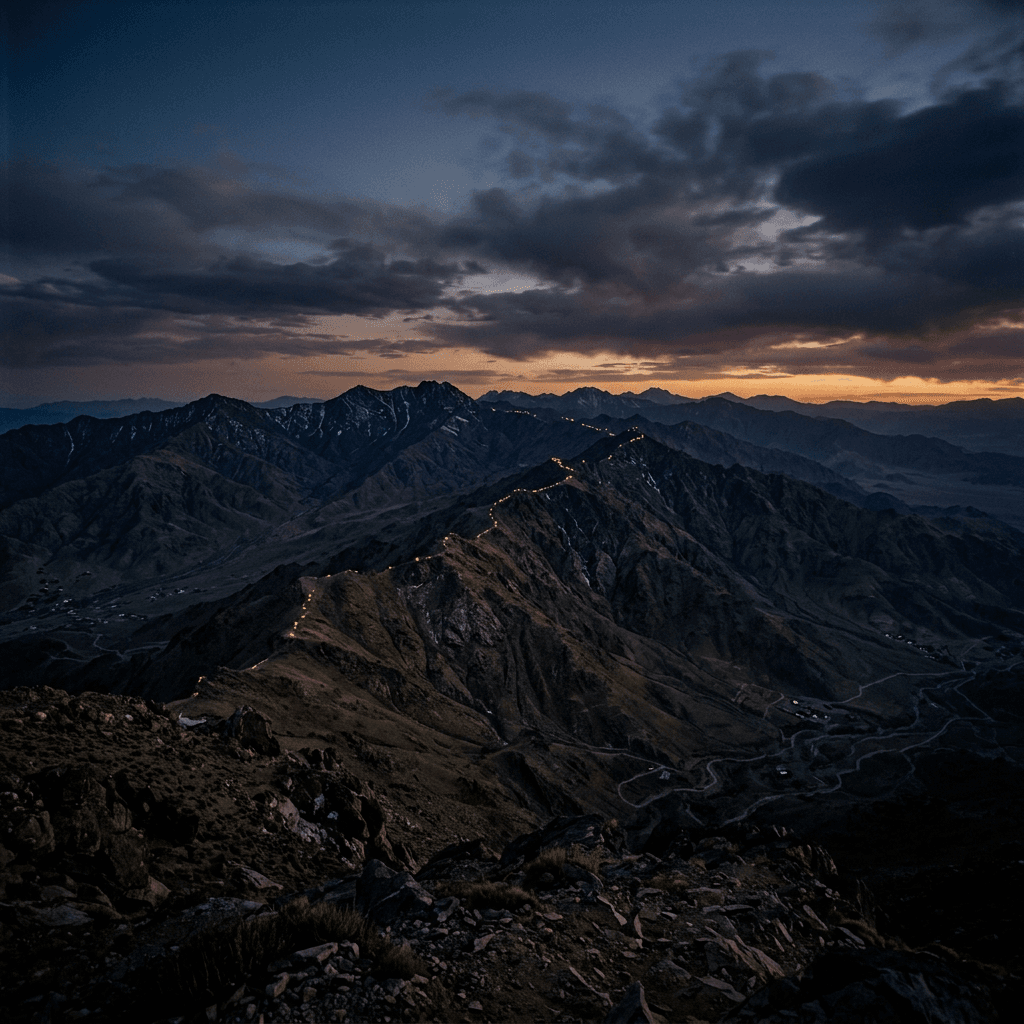
A border exists twice. Once as a line on a map, agreed in treaties and printed in atlases, and once as something a state can actually see, track and act on. The two are rarely the same. The line runs for hundreds of kilometres through desert, mountain, forest and river. The picture a government can hold of that line, at any given moment, is usually a fraction of it: a handful of manned posts, a patrol schedule, and long hours of nothing in between.
Adversaries understand this gap better than anyone. Smugglers, infiltrators and hostile reconnaissance do not test the strong points. They test the seams: the valley the camera does not reach, the hour the patrol has just passed, the stretch where the sensor was promised in a procurement plan and never arrived. The threat is not that you lack a border. It is that you lack a continuous, trustworthy picture of it.
Closing that gap is not a matter of buying one more sensor. It is a matter of building a layered picture that persists, one that sees at range, sees without being seen, and holds together when a single link or a single site is lost. That is an architecture, not a product, and it has to be one you own rather than one you borrow.
See at range, and see continuously
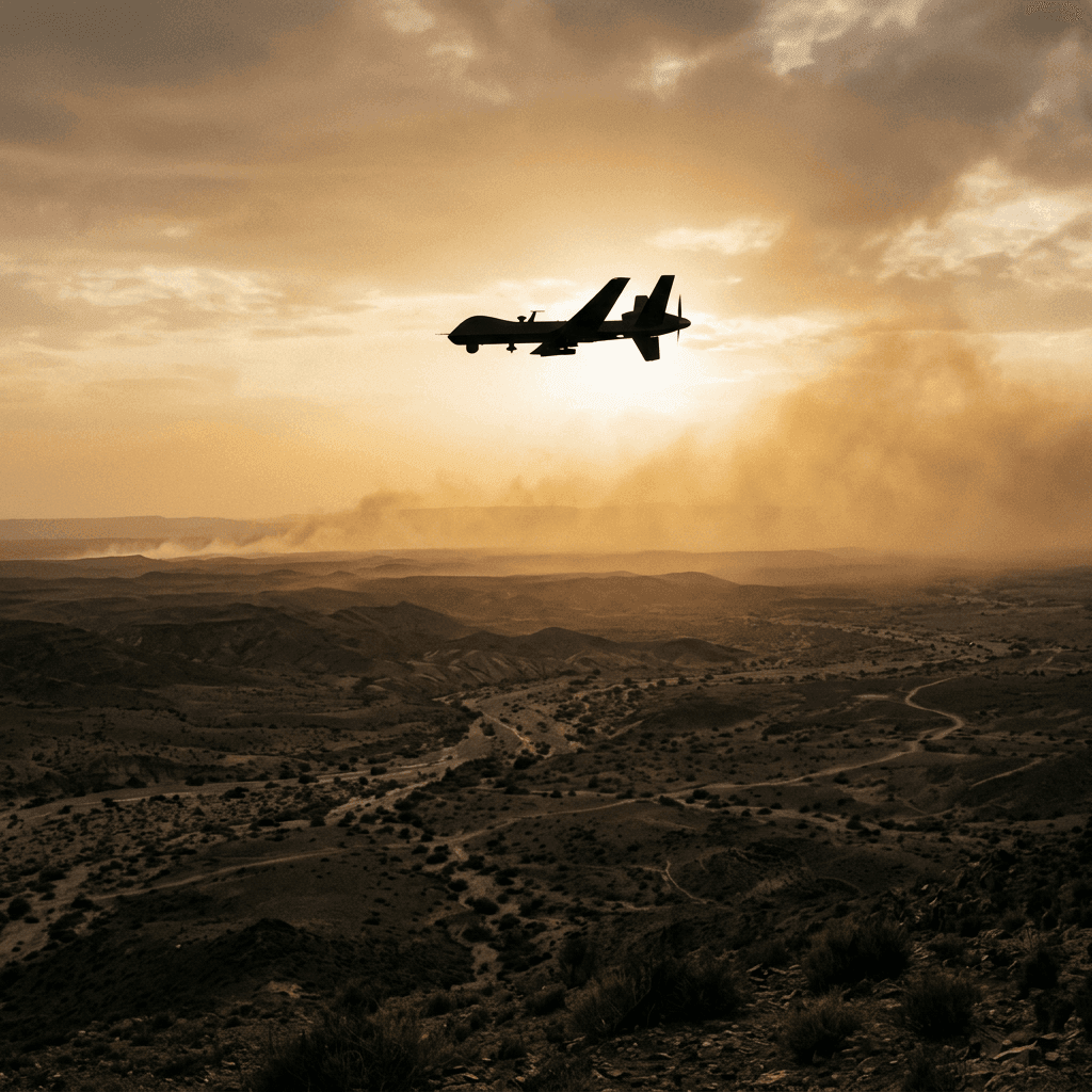
The first layer is persistent aerial observation. Observation and surveillance drones give a border command a continuous overhead picture, with stabilised day-and-night sensors putting live video onto the ground control station over encrypted links. The value is not the single image. It is persistence: the ability to keep eyes on a stretch of frontier for hours rather than minutes, and to cue a patrol to the right place before a crossing becomes an incident.
Where a fixed platform cannot reach, capability has to move with the unit. Modular aerial platform kits let border units assemble, repair and adapt their own ISR airframes in the field rather than waiting on a distant depot. A frontier force that can rebuild a damaged airframe overnight keeps its picture; one that has to ship a sealed unit back to a foreign factory loses coverage for weeks. Sovereign capability at the border means the operator who flies the aircraft can also fix it.
These platforms are built by a maker that also builds the defences they inform, so observation and protection are designed to work as one architecture rather than bolted together after the fact. That matters at a border, where the same overhead picture that spots an incursion may also need to survive a hostile drone sent to blind it.
See without being seen
Every sensor that transmits announces itself. A conventional radar tells a capable adversary exactly where your defences sit and where their blind spots begin, and it gives an anti-radiation weapon something to home on. On a contested frontier, the sensor that reveals the defence can be the first thing lost.
Passive radar inverts that logic. It emits nothing, exploiting satellite and broadcast signals already in the environment to detect and track across hundreds of square kilometres from a single receiver site, with no spectrum licence to file. It is well suited to exactly the targets that trouble a border: small drones, low-signature aircraft and slow-movers that conventional radar struggles to hold. Because it never transmits, there is nothing for an adversary to locate, jam-cue or strike.
Paired with the aerial layer, an emitter-free sensor lets a border force watch the seams quietly. The infiltrator who has learned the patrol schedule has no way to learn where the silent sensor is, because it gives him nothing to find.
One picture, one truth
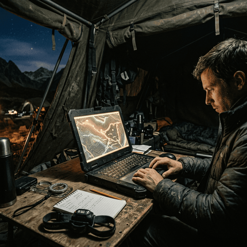
Layers of sensing are worthless if they arrive at the command post as a dozen contradictory feeds. Under pressure, a duty officer reconciling separate radar, RF and video screens is slow, and slow at a border is where mistakes and fratricide happen. The layers have to become one picture. Battlefield sensor fusion merges radar, RF, optical and unmanned-platform feeds into a single operating picture built for rapid comprehension, resolving duplicate and conflicting tracks into one trusted view while keeping the operator firmly in the loop.
That picture only holds if the links beneath it hold. A border network stretched across hard terrain and contested spectrum cannot depend on a single point of failure. Anti-jam mesh data links keep posts, vehicles and unmanned systems connected through jamming and node loss, with a self-healing topology that means losing one relay never means losing the network. This is the layer everything else quietly depends on.
For the widest stretches (the open desert or ocean approach beyond any tower's reach), orbital coverage completes the picture. Observation satellites add electro-optical and radar sensing tasked on your national priorities, filling the gaps between the aerial and ground layers with a wide-area view that answers to your flag rather than to a coalition's release schedule.
A picture you own, not one you borrow
The instinct, when a border problem grows urgent, is to reach for whatever a major power will sell fastest. The trouble is that borrowed sensing comes with borrowed priorities and borrowed conditions. The imagery arrives when the supplier chooses to share it, the tasking answers to someone else's interests, and the capability can be throttled or withdrawn at exactly the moment a crisis makes it valuable. A border is precisely where a nation cannot afford that dependency.
Unstrat represents this whole chain as one accountable, non-aligned channel: independent makers assembled into a single architecture, governed by classification and end-use controls, with no major-power disclosure obligation attached. The aerial layer, the emitter-free sensor, the fusion cell, the resilient links and the orbital overwatch are integrated as one programme rather than five procurements that never quite talk to each other.
The outcome is a border picture that is continuous, quiet where it needs to be, resilient under attack, and yours. It sees at range and sees the seams, it holds together when a link drops, and it answers to your command alone. A border, after all, is only as real as your picture of it. And a picture is only worth defending if you control it.


