
You can't police waters you can't see.
Awareness of an entire EEZ from orbit to harbour: vessel tracking, fisheries intelligence, hazard monitoring and protection for the digital systems that hold ports and fleets together.
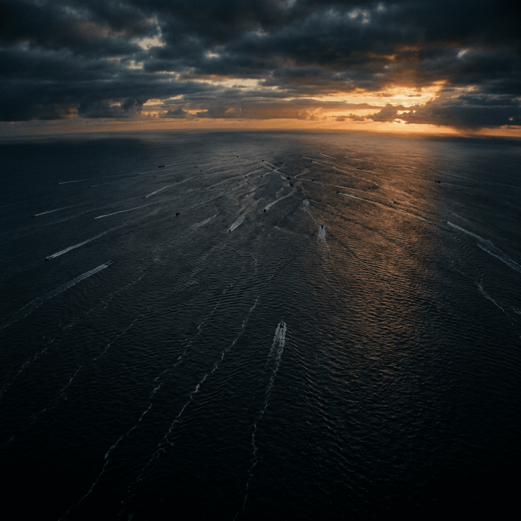
Your waters are larger than your patrols
A nation's maritime jurisdiction almost always outruns its ability to watch it. An exclusive economic zone stretches far beyond the horizon a coastal radar can reach and far beyond the range a patrol fleet can cover on any given day. Between the last radar return and the edge of the EEZ lies a vast expanse where, in practice, nobody is looking.
That unwatched space is where the maritime threat actually lives. Illegal fishing strips national waters of a resource that belongs to the state. Smuggling and grey-zone activity move through the gaps between patrols. Vessels that wish to avoid attention simply switch off their transponders and vanish into the very ocean the nation is supposed to control.
You cannot enforce a boundary you cannot see, and you cannot protect a resource you cannot count. Maritime domain awareness is the precondition for everything else a coast guard or navy is asked to do, and building it means seeing the whole zone at once, not just the fraction within radar range.
See the whole zone from orbit
The only vantage point wide enough to hold an entire EEZ at once is space. Ocean surveillance satellites deliver maritime domain awareness from orbit under a sovereign contract: satellites tasked on your priorities, downlink to ground stations on your soil, and processing inside your jurisdiction, so no raw data leaves the country. They fuse AIS, radar, optical and RF layers into a single operating picture of your waters and the open ocean beyond coastal radar.
The picture is only as honest as its ability to catch what is hiding. The value of a multi-layer approach is that it cross-matches AIS gaps against radar and RF detections, surfacing the dark vessels that have switched off their transponders precisely because they do not want to be seen. A single picture serves navy, coast guard, fisheries enforcement, customs and search-and-rescue, each with their own access to the same trusted view.
Because the delivery is sovereign, the alerting logic is yours rather than a foreign-supplied black box. The nation tasks its own priorities and reads its own picture, downlinked to ground stations on its own soil. Awareness that answers to your flag, not to whoever else happens to be watching the same ocean.
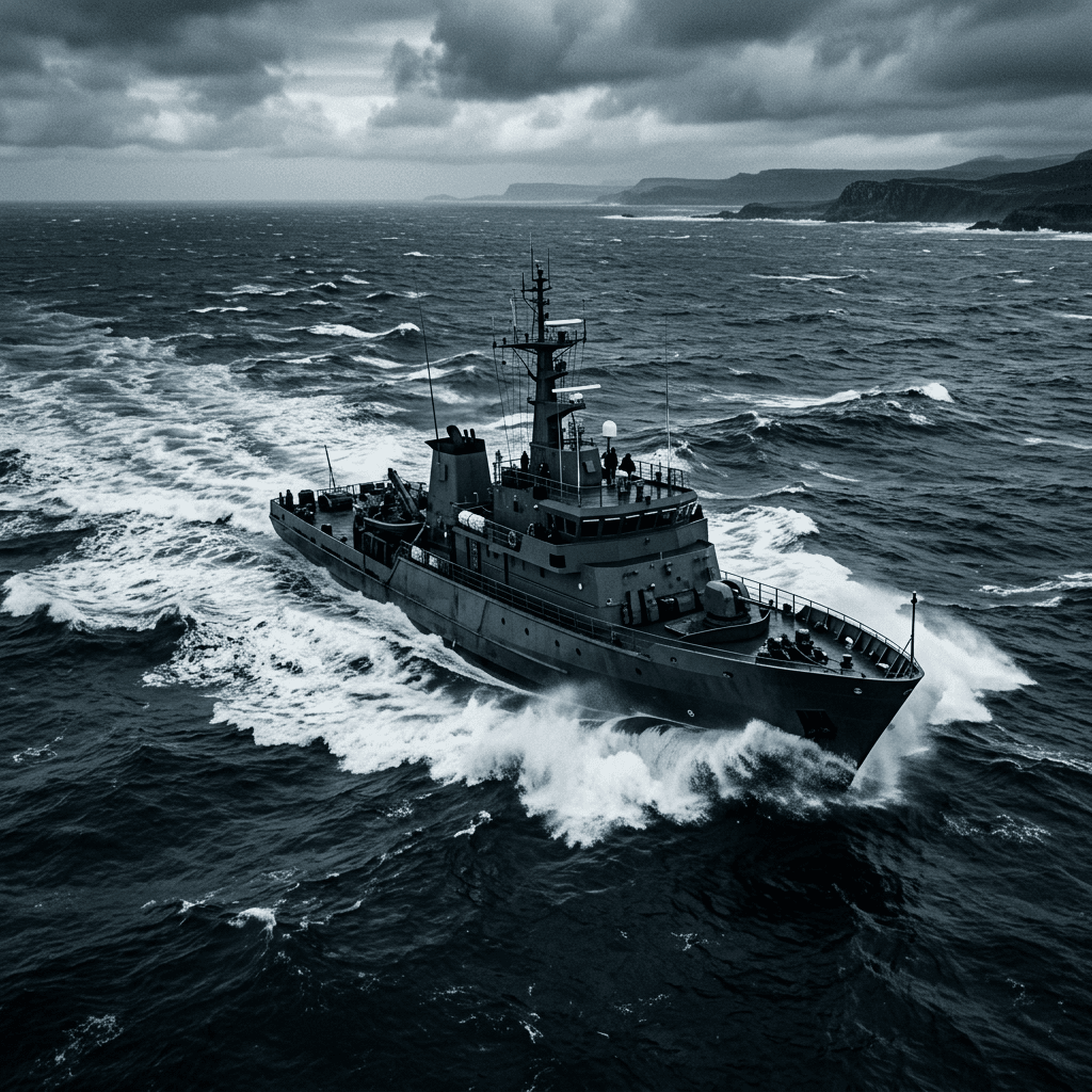
Turn awareness into enforcement and advantage
Awareness that never becomes action is just an expensive view. The wide-area picture has to translate into the specific decisions a maritime state makes every day, from where its fleets fish to where its enforcement vessels sail.
Fish detection turns satellite and earth data into fishing-zone advisories and monitoring of unregulated fishing, delivered as an application fleets use directly at sea. Built by a data-science team backed by the United Nations World Food Programme, the European Space Agency and the World Bank, it guides national fleets to productive waters while giving fisheries authorities the means to watch for the unregulated activity stripping those same waters. The picture that protects the resource is the same picture that makes the legitimate fleet more profitable.
Where enforcement has to stand up in a courtroom rather than just on a screen, the analytics extend into evidence. Fisheries traceability and enforcement adds bait-to-plate provenance and enforcement analytics against illegal, unreported and unregulated fishing across the EEZ, giving fisheries ministries and coast guards the evidence chain behind every landing. Awareness catches the offender; the evidence chain is what makes the catch hold.
The maritime threat is not only human. Disaster risk monitoring builds a live operating picture of cyclones, flooding and coastal hazards from earth-observation and ground data, giving civil-defence agencies decision time before an event and a sovereign hazard picture drawn from their own data rather than waiting on a foreign agency's alerting. The same orbital vantage that tracks vessels also tracks the storms that threaten them.
Protect the picture itself
Modern maritime awareness runs on software, and software is a target. The ships that gather the picture, the ports that receive it and the systems that tie them together are as exposed to attack as any land-based network, and a compromised navigation system or port control network can do more damage than any smuggler.
Maritime cybersecurity was built by maritime security researchers and is proven across more than 1,500 vessels at sea, spanning the fleet platform, hardware intrusion detection on navigation buses, on-vessel edge compute and crew training. It covers both the operational-technology and information-technology estates that keep ships and harbours running, the digital half of maritime domain awareness that a purely sensor-focused approach tends to ignore.
There is little point building a flawless picture of your waters if an adversary can quietly corrupt the systems that hold it. Protecting the fleet and the ports is not a separate programme from watching the ocean. It is the part that keeps the watching trustworthy.

One picture, one accountable channel
Maritime awareness assembled from mismatched pieces tends to fail at the joins: a vessel-tracking feed that does not talk to the fisheries system, a hazard picture held by a different ministry, and port systems defended by nobody in particular. The threat exploits exactly those seams.
Unstrat brings the orbital picture, the fisheries intelligence, the hazard monitoring and the maritime cyber defence together through one accountable, non-aligned channel: independent specialists assembled into a coherent whole rather than four procurements that never quite meet. The delivery is sovereign, with no major-power disclosure obligation and no raw data leaving your jurisdiction.
The result is a maritime state that can actually see its own waters, orbit to harbour: track the vessels that matter, catch the ones hiding, guide its fleets, warn its coasts and defend the systems that hold it all together. You cannot police what you cannot see. The first task is always to see it, and to make sure the picture is yours.


